
HPPSC Focus: Mukhya Mantri Gram Path Yojana (2009)
A complete exam-oriented analysis of Mukhya Mantri Gram Path Yojana (2009) covering objectives, features, and its relevance in HPPSC exams, including PYQ insights and comparison with PMGSY.
A complete exam-oriented analysis of Mukhya Mantri Gram Path Yojana (2009) covering objectives, features, and its relevance in HPPSC exams, including PYQ insights and comparison with PMGSY.

Swami Krishnananda (1922–2001), disciple of Swami Sivananda, was a leading Advaita Vedanta scholar and long-time General Secretary of the Divine Life Society. He harmonized Jnana and Karma Yoga, blending deep philosophy with dedicated institutional service.
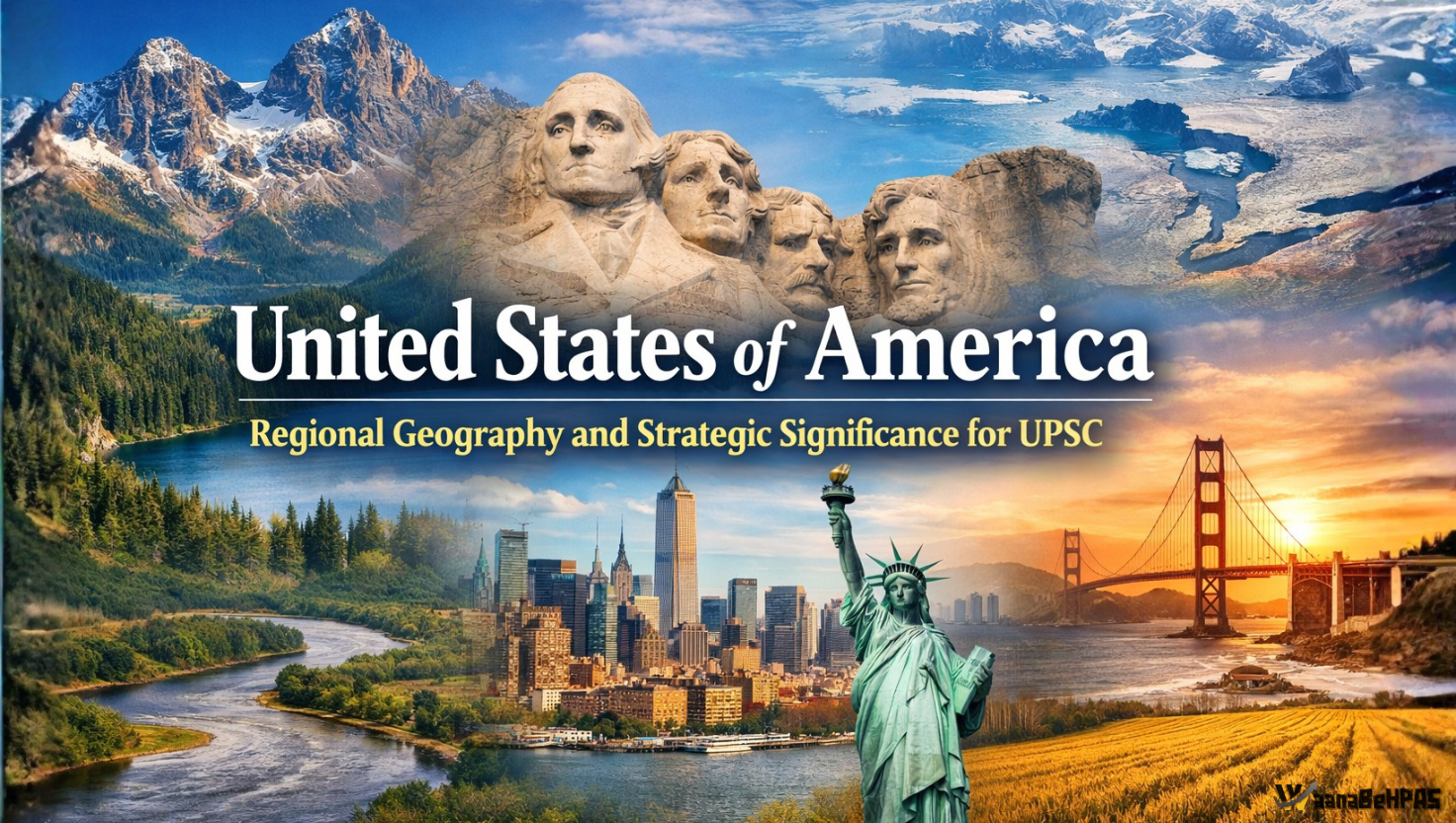
The United States of America occupies a pivotal position in North America, where its mountain systems, river basins and coastal plains have shaped agriculture, industry and global power, making it a classic case study in regional geography and geopolitics for UPSC aspirants.
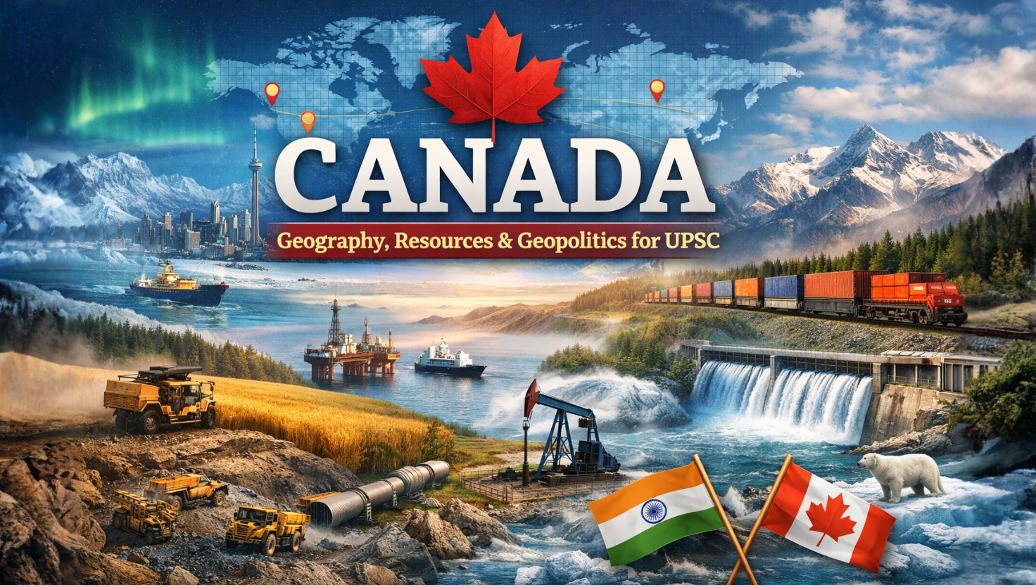
Canada, the world’s second-largest country, is shaped by plate tectonics and glaciation, resulting in vast resource wealth, climatic diversity, and strategic Arctic importance. Its geography strongly influences its economy, global role, and relations with India.
Mont Blanc, the highest peak of the Alps and Western Europe, stands on the France–Italy border and represents the outcome of Alpine tectonics and extensive glaciation, shaping the climate, drainage, and human geography of France and the wider European region.

Ben Nevis, the highest peak in the United Kingdom, stands in Scotland’s Grampian Mountains and preserves a remarkable record of Caledonian tectonics, ancient volcanism, and glacial sculpting, making it central to understanding the physical geography of Scotland and the British Isles.
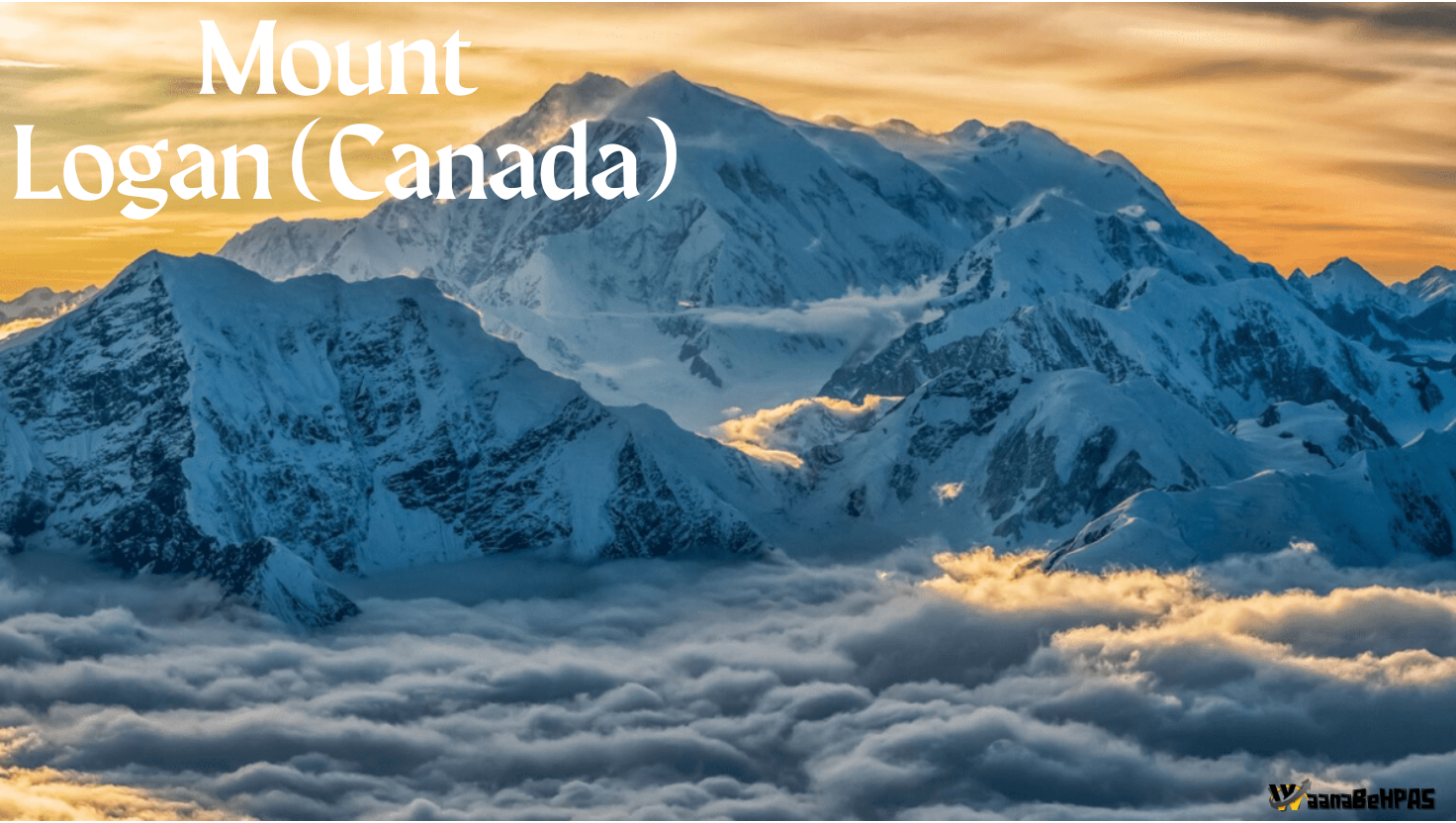
Mount Logan, Canada’s highest peak in the Yukon’s Saint Elias Range, is the world’s largest non-volcanic mountain, shaped by active tectonics and vast glaciers, key to understanding Canada’s physical geography.
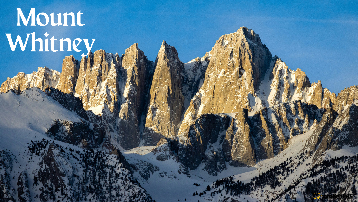
“Mount Whitney, the highest peak in the contiguous USA, lies in California’s Sierra Nevada on the Great Basin–Pacific divide, shaping the region’s drainage, climate, and rugged relief.”
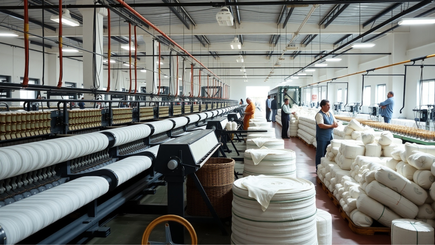
Phagwara’s JCT mill shaped Punjab’s textile sector through its composite operations, export-oriented output, modernization, and strong local economic impact.
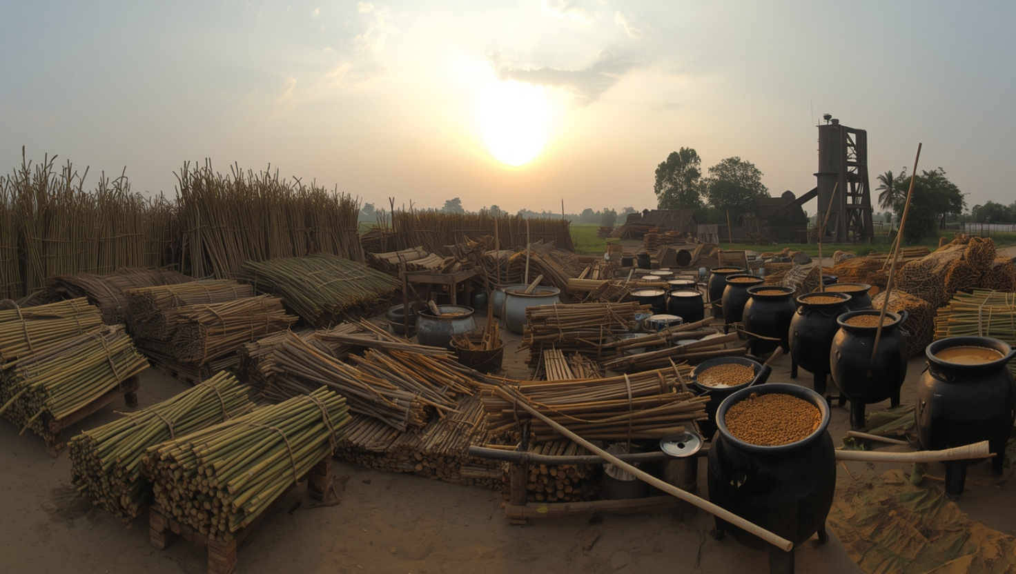
Mandya is a key sugarcane district of Karnataka, anchored by MYSUGAR and supported by strong irrigation, sugar mills, and widespread jaggery units.
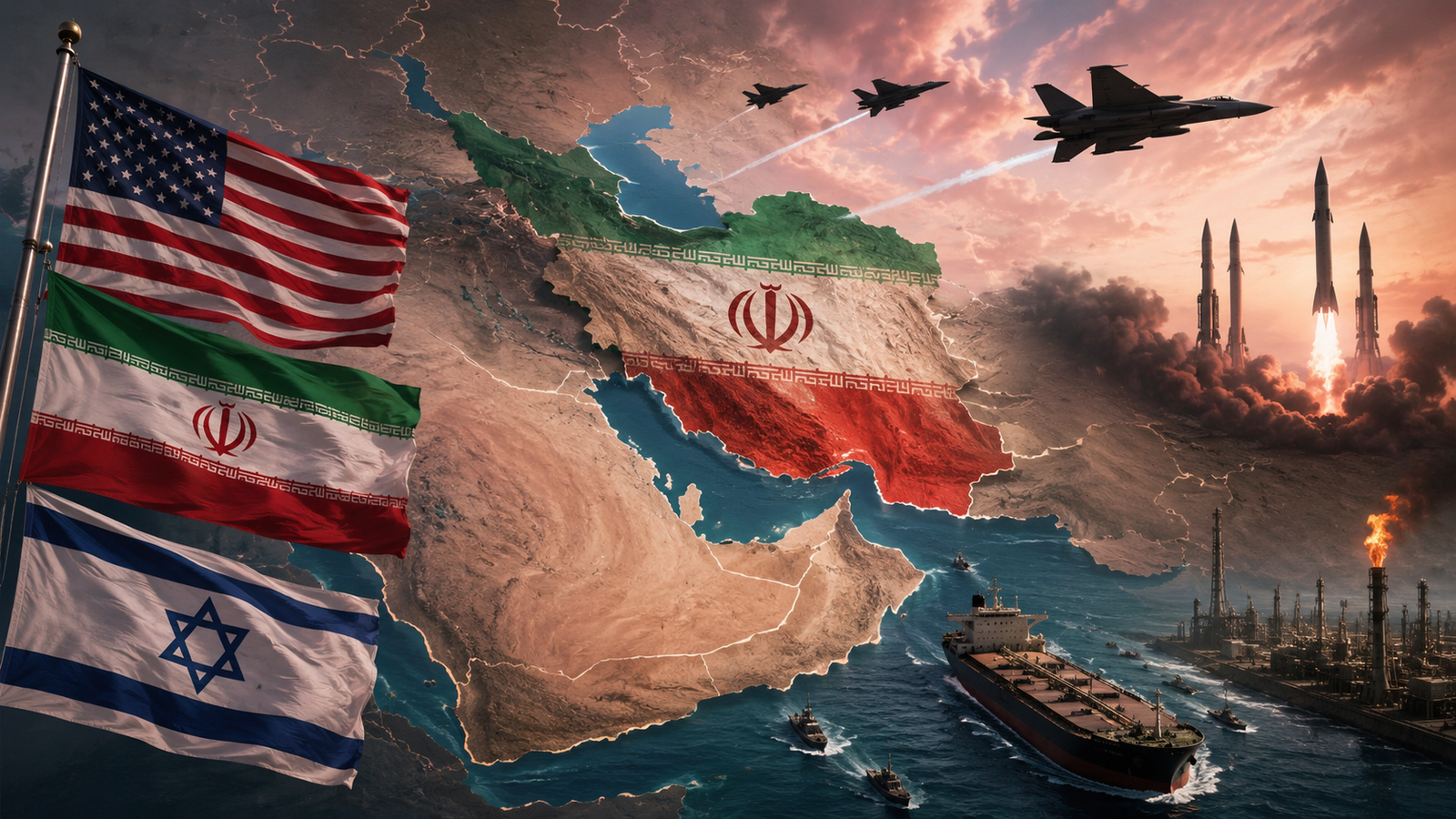
Understand the US–Iran–Israel conflict from A to Z. Learn about
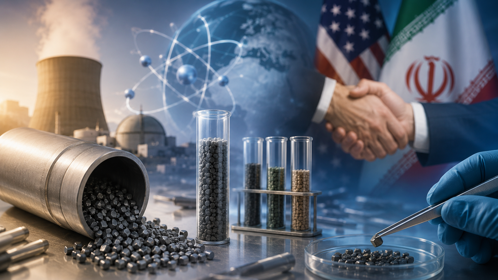
The recent U.S.–Iran understanding has brought Uranium Downblending into global

Recent Supreme Court and Bombay High Court judgments have clarified
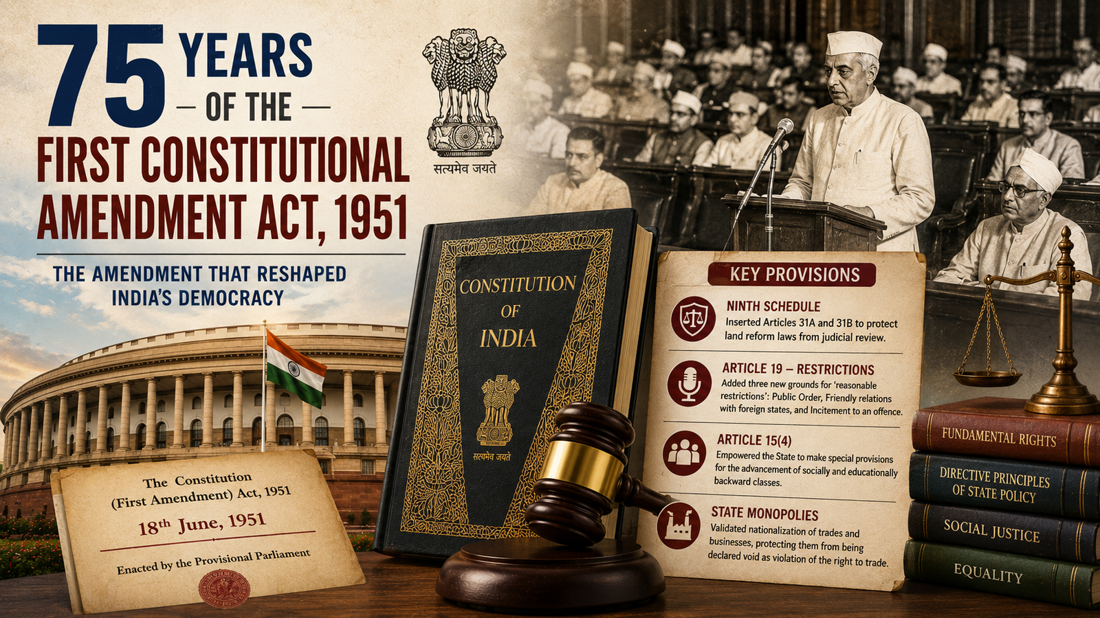
Seventy-five years after its enactment, the First Constitutional Amendment Act,
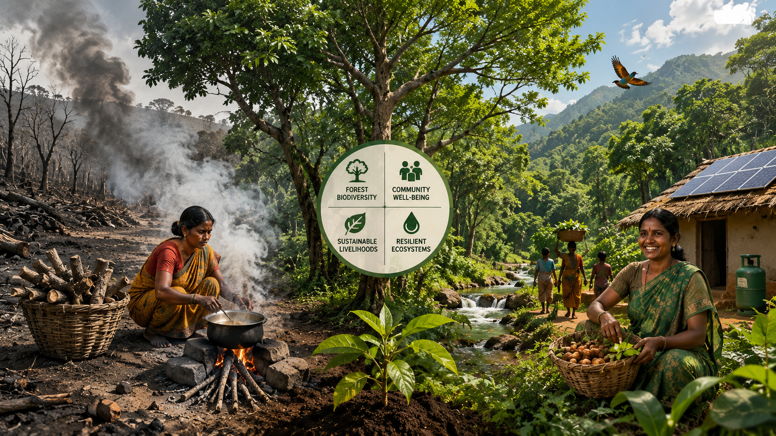
A new global study reveals that forest conservation and poverty

A U.S. court has struck down the proposed $100,000 H-1B