Ladakh: 28 Geographical Features Standardised on Survey of India Map
Category: Geography | Environment | Internal Security
UPSC GS: GS Paper I – Indian Geography; GS Paper III – Internal Security
HPPSC Relevance: Geography, Border Areas, Himalayan Region, Strategic Geography
Geography Optional: Physical Geography, Regional Geography, Political Geography, Cartography
Why in News?
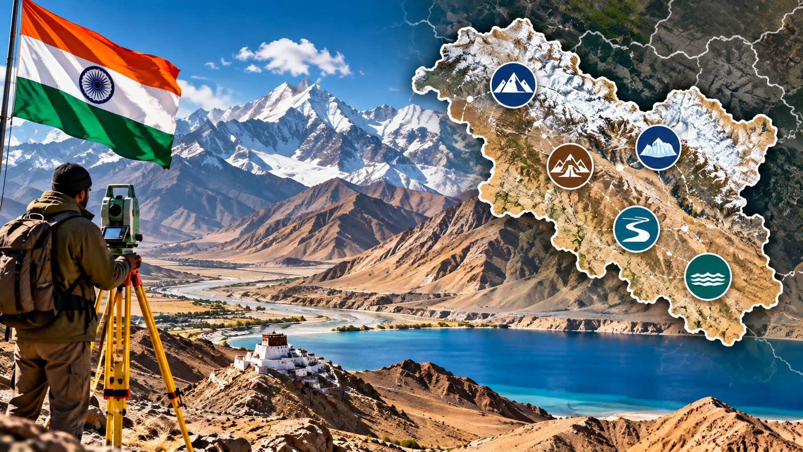
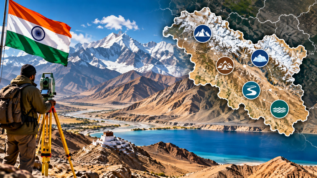
The Government of India, in consultation with the Union Territory Administration of Ladakh, has formally identified and standardised the names of 28 places and geographical features in Ladakh on the official map of the Survey of India (SoI).
The announcement was made by the Ministry of Home Affairs on 2 October 2026.
The 28 features include:
- peaks;
- mountains;
- passes;
- glaciers;
- valleys;
- rivers;
- lakes;
- water bodies;
- land areas and points.
The stated objective is to facilitate their accurate recognition and improve public awareness of their geographical significance.
This development is important for UPSC because it connects physical geography, cartography, territorial geography, border management and strategic geography.
The 28 Features at a Glance
The official list released by the Government is:
| No. | Name | Feature Type |
|---|---|---|
| 1 | Atisha Giri | Peak |
| 2 | Brangsa | Land area |
| 3 | Chapchingal Pass | Pass |
| 4 | Kanishka Peak | Peak |
| 5 | Karun Pir | Mountain |
| 6 | Kuksel | Land area |
| 7 | Martand Giri | Peak |
| 8 | Parpik | Glacier |
| 9 | Skamri Glacier | Glacier |
| 10 | Shachmirk Pass | Pass |
| 11 | Shkorga Valley | Valley |
| 12 | Zorawar Peak | Peak |
| 13 | Dehra Compass | Land area |
| 14 | Drak Karpo | Mountain |
| 15 | Gogra | Land area |
| 16 | Jolmori | Mountain |
| 17 | Kumarayana Point | Land area |
| 18 | Panglung | Land area |
| 19 | Rinchen Zangpo | Peak |
| 20 | Sakyasri Giri | Peak |
| 21 | Guru Rinpoche | Lake |
| 22 | Shamal Lungpa | Land area |
| 23 | Yangpa River | River |
| 24 | Hot Spring | Water body |
| 25 | Marpa Lotsava Ri | Peak |
| 26 | Milarepa Kangri | Peak |
| 27 | Shiva Ri | Peak |
| 28 | Maheshvara Ri | Peak |
These are the names and classifications officially listed by the Ministry of Home Affairs for the Survey of India map.
First Understand: What Does “Standardising Geographical Names” Mean?
This is the most important basic concept.
A geographical feature can have:
- local names;
- historical names;
- different spellings;
- different transliterations;
- names used in different languages;
- names appearing differently in different records.
Standardisation of geographical names means establishing an official form of a geographical name for use in government maps and records.
Exam Definition
Geographical name standardisation is the process of establishing a consistent and authoritative form of place or feature names for official cartographic and administrative use.
Therefore, this exercise is primarily about official recognition and standardised cartographic representation.
It is important not to misunderstand it as the physical creation of new geographical features.
What is Cartography?
Cartography is the science and art of making and studying maps.
It involves:
- collecting geographical information;
- representing locations;
- selecting appropriate scales;
- using symbols;
- naming geographical features;
- representing physical and political boundaries;
- communicating spatial information.
Exam Definition
Cartography is the science and practice of creating, analysing and interpreting maps to represent geographical information.
Therefore, the Ladakh development has a direct cartographic significance.
Why is Survey of India Important?
The Survey of India (SoI) is India’s National Mapping Agency under the Department of Science & Technology.
It was established in 1767 and is responsible for surveying and mapping activities across India.
Its responsibilities include preparation and dissemination of various types of maps and geospatial products.
These include:
- political maps;
- physical maps;
- road maps;
- railway maps;
- state maps;
- topographical maps;
- digital geographical maps;
- geospatial databases.
Thus, when a feature is formally identified on the Survey of India map, it receives an official cartographic representation within India’s national mapping framework.
What Exactly Has Changed?
The important point is:
India has formally identified 28 places/features and their standard names on the official Survey of India map of Ladakh.
The government has not said that these features have suddenly come into existence.
Rather:
Existing geographical features
↓
Official identification
↓
Standardised names
↓
Inclusion/representation on official Survey of India mapping
↓
Greater consistency in official geographical recognition
This distinction is important for Prelims.
Classification of the 28 Features
The 28 features belong to several geographical categories.
Peaks
The list contains several peaks, including:
- Atisha Giri
- Kanishka Peak
- Martand Giri
- Zorawar Peak
- Rinchen Zangpo
- Sakyasri Giri
- Marpa Lotsava Ri
- Milarepa Kangri
- Shiva Ri
- Maheshvara Ri
These are important for mountain geography and map-based questions.
Mountains
Three features are classified as mountains:
- Karun Pir
- Drak Karpo
- Jolmori
Mountain vs Peak
These terms should not be used interchangeably.
A mountain is a major elevated landform.
A peak usually refers to the highest or prominent summit of a mountain or mountain system.
Therefore:
Mountain = broader landform
Peak = prominent summit/high point
Passes
Two features are classified as passes:
- Chapchingal Pass
- Shachmirk Pass
What is a Mountain Pass?
A mountain pass is a relatively low route or gap through mountainous terrain that allows movement from one side of a mountain system to another.
Why are passes important?
Historically and strategically, mountain passes have been important for:
- trade;
- migration;
- military movement;
- communication;
- tourism;
- transport.
In border regions such as Ladakh, passes can also have strategic and logistical significance.
Glaciers
Two features are classified as glaciers:
- Parpik
- Skamri Glacier
What is a Glacier?
A glacier is a large mass of ice formed from accumulated and compacted snow that moves slowly under gravity.
Why are glaciers important in Ladakh?
Glaciers are important because they contribute to the regional water system.
Their meltwater can feed:
- streams;
- rivers;
- lakes;
- downstream irrigation systems.
Therefore:
Glacier geography → Water resources → Human settlements → Agriculture → Strategic importance
Valley
One feature is classified as a valley:
Shkorga Valley
What is a Valley?
A valley is a relatively low area between elevated landforms such as mountains or hills.
Valleys can be formed by:
- rivers;
- glaciers;
- tectonic processes;
- erosion.
In high-altitude regions, valleys often become important areas for:
- human settlement;
- transport;
- grazing;
- agriculture where conditions permit;
- wildlife movement.
River
One feature is classified as a river:
Yangpa River
Why are Rivers Important in Ladakh?
Ladakh is a high-altitude cold desert with limited precipitation.
Therefore, river systems are especially important for:
- water supply;
- agriculture;
- settlements;
- ecosystems;
- hydropower potential in suitable locations.
The broader geography of Ladakh demonstrates an important relationship:
High altitude + low precipitation
→
Limited water availability
→
Greater dependence on snow and glacier-fed water systems
Lake
One feature is classified as a lake:
Guru Rinpoche
A lake is an inland body of standing water surrounded by land.
Lakes in high-altitude environments can have ecological, hydrological and sometimes cultural significance.
Water Body
One feature is classified as:
Hot Spring
This is particularly interesting from a physical-geography perspective.
What is a Hot Spring?
A hot spring is a natural spring in which groundwater emerges at a temperature higher than the surrounding environment because of geothermal heating.
Basic process
Rain/snowmelt
↓
Water infiltrates underground
↓
Water is heated by geothermal processes
↓
Heated water rises
↓
Hot spring emerges at surface
Hot springs can therefore provide evidence of geothermal activity and subsurface geological processes.
Land Areas and Points
Several features are classified as land areas or points.
These include:
- Brangsa
- Kuksel
- Dehra Compass
- Gogra
- Kumarayana Point
- Panglung
- Shamal Lungpa
The classification is important because it tells us that the 28 features are not all mountains or peaks.
They represent a diverse set of geographical features.
Ladakh: Why Is Geography So Important Here?
To understand the importance of these features, we need to understand Ladakh’s physical geography.
Ladakh is a high-altitude region of the Trans-Himalayan landscape.
It is characterised by:
- high mountains;
- deep valleys;
- cold desert conditions;
- glaciers;
- sparse vegetation;
- high-altitude lakes;
- limited precipitation;
- river valleys.
The region’s physical geography strongly influences:
- settlement;
- agriculture;
- transport;
- military logistics;
- tourism;
- water availability;
- biodiversity.
What is a Cold Desert?
This is an important Geography Optional concept.
A desert is an area receiving very little precipitation.
A cold desert is a desert where temperatures are generally low because of high altitude or high latitude.
Ladakh is commonly described as a high-altitude cold desert.
Why is Ladakh dry despite being in the Himalayas?
The main reason is the rain-shadow effect.
Moisture-bearing winds lose much of their moisture before crossing the high mountain barriers.
The interior region therefore receives relatively little precipitation.
This creates a rain-shadow environment.
Rain Shadow Effect
Consider this simple sequence:
Moist air
↓
Mountain barrier
↓
Air rises
↓
Cooling
↓
Condensation and precipitation on windward side
↓
Descending air becomes warmer and drier
↓
Dry conditions on leeward side
This dry leeward region is called a rain-shadow region.
Ladakh’s aridity is closely related to its position north of the main Himalayan mountain barriers.
Ladakh and the Trans-Himalaya
Another important Geography Optional concept is the Trans-Himalaya.
The Trans-Himalaya broadly refers to mountain systems lying north of the main Himalayan ranges.
Important ranges associated with this broad region include:
- Karakoram;
- Ladakh Range;
- Zanskar Range.
Ladakh’s geographical setting therefore differs from the humid Himalayan foothills.
This difference explains its:
- cold desert environment;
- sparse vegetation;
- high-altitude lakes;
- glacier systems;
- distinctive settlement pattern.
Why Mapping Matters in Border Regions
Maps are not merely classroom tools.
They are important instruments of:
- administration;
- planning;
- disaster management;
- infrastructure development;
- resource management;
- navigation;
- security;
- territorial representation.
The Survey of India describes itself as the country’s principal/national mapping agency and emphasises the importance of accurate mapping for development and national security.
Therefore, standardised geographical names have practical significance beyond textbooks.
Cartography and Territorial Geography
This topic becomes especially important because Ladakh is a border Union Territory.
Geographical features such as:
- mountains;
- passes;
- valleys;
- glaciers;
- rivers;
- lakes
can act as important reference points for:
- administration;
- navigation;
- infrastructure planning;
- disaster response;
- border management.
The official government release itself focuses on accurate recognition and public awareness, while media reports have also discussed the wider strategic context of standardising names in the border region. Those strategic interpretations should be treated as analysis rather than as the government’s stated objective.
Cartographic Sovereignty
A useful conceptual term for UPSC is:
Cartographic Sovereignty
Simple Meaning
The ability of a state to establish and maintain its own authoritative representation of geographical places and territorial features on its official maps.
Exam Definition
Cartographic sovereignty refers to a state’s authority to officially represent and standardise geographical names, places and territorial features within its national mapping framework.
This concept is particularly relevant in areas where geographical names and territorial representations can become politically or strategically contested.
Why Geographical Names Matter
A name on an official map does several things.
It provides:
Identification
↓
Consistency
↓
Administrative reference
↓
Cartographic recognition
↓
Public awareness
Therefore, geographical names are part of a country’s geographical information infrastructure.
They also preserve elements of:
- history;
- culture;
- local identity;
- heritage.
Cultural Geography Dimension
The names of several newly standardised features have cultural or historical associations.
Examples include names such as:
- Atisha Giri;
- Kanishka Peak;
- Zorawar Peak;
- Rinchen Zangpo;
- Guru Rinpoche;
- Milarepa Kangri;
- Marpa Lotsava Ri;
- Maheshvara Ri.
This demonstrates how physical geography and cultural geography can overlap.
A geographical feature may simultaneously represent:
Landscape + History + Culture + Identity
This is useful for Geography Optional answers.
Zorawar Singh and Ladakh
One name in the list has a particularly important historical association:
Zorawar Peak
General Zorawar Singh played an important role in Dogra expansion into Ladakh and the wider Himalayan region during the 19th century.
For UPSC/HPPSC, this can be connected with:
- Dogra expansion;
- Ladakh’s political history;
- Himalayan trade routes;
- military geography.
The important lesson is that geography often shapes political and military history.
Physical Geography and Strategic Geography
Ladakh demonstrates the close relationship between physical geography and security.
Consider:
High mountains
→
Limited transport routes
→
Passes become important
→
Movement concentrates through specific corridors
→
Those corridors gain strategic importance
Similarly:
Glaciers + Snow
→
Water resources
→
River systems
→
Settlements and infrastructure
Thus:
Physical geography → Human geography → Strategic geography
The Strategic Importance of High-Altitude Geography
High-altitude terrain creates special challenges for:
- roads;
- bridges;
- military logistics;
- communication;
- construction;
- habitation;
- disaster management.
Factors such as:
- low oxygen;
- extreme cold;
- snowfall;
- avalanches;
- landslides;
- permafrost;
- steep slopes
affect infrastructure development.
Therefore, accurate maps and geographical databases become important for planning and operations.
What is Geospatial Data?
Another important keyword is Geospatial Data.
Simple Meaning
Geospatial data is information connected to a specific location on the Earth’s surface.
Examples:
- coordinates;
- roads;
- rivers;
- mountains;
- administrative boundaries;
- land use;
- satellite imagery.
Exam Definition
Geospatial data is information that describes the location and characteristics of objects or phenomena on the Earth’s surface.
Survey of India provides various geospatial products including digital geographical maps, topographical maps, administrative boundary databases and other mapping products.
GIS Connection
GIS = Geographic Information System
A GIS is a system used to:
- collect;
- store;
- analyse;
- manage;
- visualise
geographically referenced information.
For example, a GIS can combine:
Mountain layer
River layer
Road layer
Settlement layer
Land-use layer
to produce a detailed spatial analysis.
This can help in:
- disaster management;
- border-area planning;
- infrastructure development;
- environmental management;
- tourism planning.
Remote Sensing Connection
Modern geographical mapping increasingly uses:
- satellites;
- aerial imagery;
- drones;
- LiDAR;
- GNSS;
- digital elevation models.
These technologies help identify and map difficult terrain.
This is particularly important in mountainous regions such as Ladakh where ground-based surveying can be difficult.
Survey of India currently provides geospatial products and services involving technologies such as LiDAR, 3D mapping and real-time GNSS positioning.
Why This Matters for Geography Optional
This current affair provides an excellent example of applied geography.
You can connect it with:
Physical Geography
- mountains;
- glaciers;
- valleys;
- rivers;
- lakes;
- passes;
- rain-shadow effect.
Human Geography
- settlement;
- transport;
- livelihoods;
- tourism.
Political Geography
- borders;
- territorial representation;
- administrative geography.
Geographical Techniques
- cartography;
- GIS;
- remote sensing;
- GNSS;
- geospatial databases.
This makes the topic particularly valuable for Geography Optional.
Ladakh as a Map-Based UPSC Topic
You should locate Ladakh on an India map and then identify:
North
→ Karakoram region
South
→ Zanskar / Himalayan systems
Central region
→ Indus Valley
East
→ Pangong–Changthang region
West
→ Kargil and Kashmir region
Neighbouring countries
→ Pakistan and China
Neighbouring Indian Union Territory
→ Jammu & Kashmir
This map orientation will make many Ladakh-related current affairs easier to understand.
Connection with Previous Naming Exercises
This is not an entirely isolated phenomenon.
In August 2026, the Government also identified 27 places/features in Arunachal Pradesh by standard place and feature names on official Survey of India maps.
This indicates a broader importance being given to:
- standardised geographical names;
- official cartography;
- geographical awareness;
- systematic representation of geographical features.
For UPSC, this creates a potential comparative question:
Ladakh 2026 + Arunachal Pradesh 2026 → Geographical name standardisation and official cartography
Significance
Administrative Significance
Standardised names improve consistency in:
- government records;
- maps;
- databases;
- planning documents.
Geographical Significance
The exercise formally identifies diverse physical features such as:
- peaks;
- glaciers;
- passes;
- valleys;
- rivers;
- lakes.
Strategic Significance
Accurate geographical representation is important for:
- border-area planning;
- navigation;
- infrastructure;
- disaster response;
- national security.
Cultural Significance
Several names reflect historical and cultural associations of the Himalayan region.
Educational Significance
The exercise can improve public understanding of Ladakh’s geographical landscape.
The government’s stated objective is specifically accurate recognition and greater public awareness of these features.
Challenges in Mapping High-Altitude Regions
Difficult Terrain
Steep mountains and remote valleys make ground surveys difficult.
Extreme Weather
Snow, cold and high winds can restrict field operations.
Accessibility
Some regions have limited road connectivity.
Dynamic Physical Features
Glaciers, river channels and snowfields can change over time.
Multiple Names
A geographical feature may have:
- local names;
- historical names;
- different spellings;
- different transliterations.
Therefore, standardisation requires careful geographical and linguistic work.
Way Forward
India’s geographical information system can be strengthened through:
Modern Surveying
Greater use of:
- satellite imagery;
- LiDAR;
- drones;
- GNSS;
- high-resolution digital elevation models.
Standardised Geographical Database
Maintain updated national databases of:
- mountains;
- peaks;
- rivers;
- glaciers;
- lakes;
- passes;
- valleys.
Local Participation
Local knowledge can help identify:
- traditional names;
- historical routes;
- cultural associations.
Open and Accurate Geospatial Data
Accurate geospatial information can support:
- disaster management;
- infrastructure;
- environmental conservation;
- research;
- tourism.
Integrated Border Mapping
Geographical mapping should be integrated with:
- infrastructure planning;
- environmental assessments;
- disaster preparedness;
- border-area development.
UPSC Prelims Perspective
Remember these facts:
28 → Number of places/features standardised in Ladakh.
Authority → Government of India in consultation with UT Administration of Ladakh.
Official map → Survey of India.
Date announced → 2 October 2026.
Feature types → Peaks, mountains, passes, glaciers, valley, lake, river, water body, land areas and point.
Glaciers → Parpik, Skamri.
Passes → Chapchingal, Shachmirk.
Valley → Shkorga.
River → Yangpa.
Lake → Guru Rinpoche.
Water body → Hot Spring.
Gogra → Classified in the official list as a land area.
These classifications are directly from the Ministry of Home Affairs release.
Possible UPSC Prelims Question
Consider the following pairs:
| Geographical Feature | Type |
|---|---|
| 1. Parpik | Glacier |
| 2. Shkorga | Valley |
| 3. Yangpa | River |
| 4. Guru Rinpoche | Lake |
Which of the pairs given above are correctly matched?
Answer: 1, 2, 3 and 4
The official Ministry of Home Affairs list classifies all four exactly in this manner.
Another Possible Prelims Question
With reference to the recent standardisation of geographical features in Ladakh, consider the following statements:
- The exercise was carried out by the Survey of India independently of the Ladakh administration.
- The features include glaciers, passes, peaks, valleys and water bodies.
- The standardised features are to be represented on the official Survey of India map.
Which of the statements given above is/are correct?
Answer: 2 and 3 only
The Government stated that the exercise was undertaken in consultation with the Union Territory of Ladakh.
UPSC Mains Perspective
Possible GS Paper I Question
“Geographical mapping is not merely a cartographic exercise; it has administrative, environmental and strategic significance. Discuss with reference to the recent standardisation of geographical features in Ladakh.”
Answer Framework
Introduction
Define geographical name standardisation and mention the 28 Ladakh features.
Body
Discuss:
Cartographic significance
- standardised names;
- authoritative maps;
- consistent geographical databases.
Physical geography
- mountains;
- glaciers;
- passes;
- valleys;
- rivers;
- lakes.
Administrative significance
- planning;
- infrastructure;
- disaster management.
Strategic significance
- border-area mapping;
- navigation;
- logistics;
- territorial representation.
Cultural significance
- historical and local names;
- geographical heritage.
Challenges
- difficult terrain;
- extreme weather;
- changing physical features;
- multiple names.
Way Forward
- GIS;
- remote sensing;
- GNSS;
- LiDAR;
- local knowledge;
- continuously updated geospatial databases.
Conclusion
Accurate cartography provides the spatial foundation for effective governance, environmental management and strategic planning in difficult border landscapes.
Geography Optional Perspective
This topic can be used in multiple answers.
Physical Geography
Question theme: Explain the distinctive physical geography of Ladakh.
Use:
- high altitude;
- Trans-Himalaya;
- cold desert;
- glaciers;
- valleys;
- rain-shadow effect.
Geomorphology
Use:
- glacial landforms;
- mountain passes;
- valleys;
- erosion;
- deposition.
Climatology
Use:
Himalayan barrier → rain-shadow → aridity
Political Geography
Use:
Borders + territorial representation + cartography + strategic geography
Geographical Techniques
Use:
GIS + Remote Sensing + GNSS + LiDAR + Digital Elevation Models
Important Keywords
Geographical Name Standardisation
English Definition: Establishing an authoritative and consistent form of geographical names for official use.
Cartography
English Definition: The science and practice of creating, analysing and interpreting maps.
Geospatial Data
English Definition: Information associated with a specific geographical location.
GIS
English Definition: A computer-based system for storing, analysing and visualising geographically referenced information.
Remote Sensing
English Definition: Collection of information about Earth’s surface without direct physical contact, usually through satellites or aircraft.
GNSS
English Definition: Global Navigation Satellite System used to determine location, navigation and timing.
LiDAR
English Definition: A remote-sensing technique that uses laser pulses to measure distances and create detailed three-dimensional representations of terrain.
Trans-Himalaya
English Definition: Mountain systems situated north of the main Himalayan ranges, including the Karakoram and Ladakh-related ranges.
Rain Shadow
English Definition: A relatively dry region on the leeward side of a mountain barrier where descending air suppresses precipitation.
Mountain Pass
English Definition: A natural low route through mountainous terrain that facilitates movement across mountain barriers.
Cartographic Sovereignty
English Definition: A state’s authority to officially represent and standardise geographical features and names within its national mapping framework.
Quick Revision: Ladakh 28 Features
Remember the Numbers
28 → Ladakh
2 October 2026 → Announcement
Survey of India → Official mapping agency
Remember the Feature Types
Peaks
Atisha Giri, Kanishka Peak, Martand Giri, Zorawar Peak, Rinchen Zangpo, Sakyasri Giri, Marpa Lotsava Ri, Milarepa Kangri, Shiva Ri, Maheshvara Ri.
Mountains
Karun Pir, Drak Karpo, Jolmori.
Passes
Chapchingal, Shachmirk.
Glaciers
Parpik, Skamri.
Valley
Shkorga.
River
Yangpa.
Lake
Guru Rinpoche.
Water body
Hot Spring.
Land areas/point
Brangsa, Kuksel, Dehra Compass, Gogra, Kumarayana Point, Panglung, Shamal Lungpa.
Memory Trick
For the most important physical features, remember:
“2G – 2P – 1V – 1R – 1L – 1W”
2G → 2 Glaciers
2P → 2 Passes
1V → 1 Valley
1R → 1 River
1L → 1 Lake
1W → 1 Water body
And remember:
28 total features
The remaining entries are primarily peaks, mountains and land areas/points.
Final Takeaway
The standardisation of 28 geographical features in Ladakh is an important current-affairs development for both Geography and strategic geography.
Its significance goes beyond memorising 28 new names.
The topic allows us to understand the relationship between:
Geographical Features
→ Cartography
→ Geospatial Data
→ Administrative Planning
→ Border Geography
→ Strategic Significance
→ Environmental Management
For UPSC, the most useful approach is therefore to study the development through map-based learning. Locate Ladakh, understand its Trans-Himalayan setting, identify the major physical features and then connect them with cartography, GIS, remote sensing and border geography.
The government’s immediate stated objective is accurate recognition and public awareness through the official Survey of India map.
For Geography Optional, this is an especially useful example of how physical geography, cartographic techniques and political geography intersect in a high-altitude border region.