Western Ghats: Ecology, Geography, and Conservation
Syllabus: Indian Geography (UPSC Prelims)
Overview
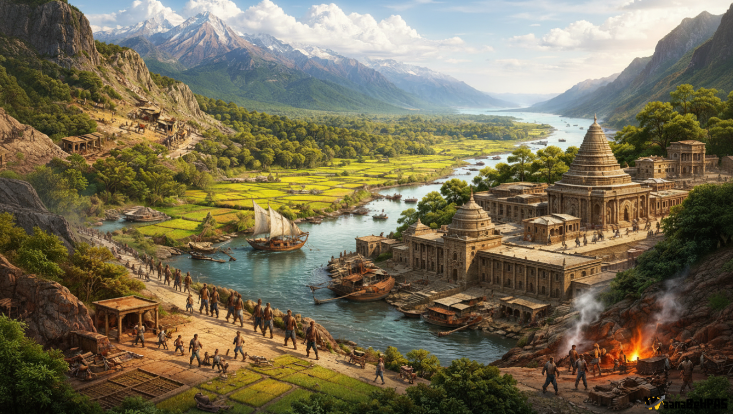
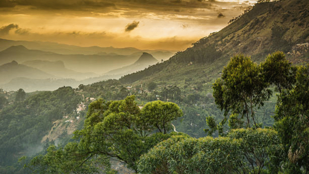
The Western Ghats, or Sahyadri Hills, form a major mountain chain running parallel to India’s western coast from the Satpura Range to Kanyakumari. They are a UNESCO World Heritage Site and one of the world’s eight biodiversity hotspots, known for exceptional endemism and ecological value.
Geographical Extent
- Stretch approx. 1600 km across Gujarat, Maharashtra, Goa, Karnataka, Kerala, and Tamil Nadu.
- Lie 30–50 km inland from the Arabian Sea.
- Divide the Konkan, Kanara, and Malabar coastal plains from the interior Deccan plateau.
- Link to Eastern Ghats through the Nilgiris.
Highest Peak
- Anamudi (Kerala) is the highest peak of the Western Ghats and the tallest in India outside the Himalayas.
- Anai Mudi (2,695 m) is the highest peak in the whole of southern India.
- Kalsubai1 is the highest peak of the northern Western Ghats and the highest point in Maharashtra.
Geology
- Considered a faulted edge of the Deccan Plateau.
- Composed of basalt, gneiss, charnockite, khondalite, granite, and associated metamorphic rocks.
Major Rivers
West-flowing: Periyar, Sharavathi, Netravati, Mandovi, etc.
East-flowing: Godavari, Krishna, Kaveri, and tributaries such as Bhima, Tunga, Bhadra, Malaprabha, Kabini.
Climate & Vegetation
- Western slopes: tropical evergreen & semi-evergreen forests.
- Eastern slopes: dry & moist deciduous forests with teak, sal, sandalwood.
- Act as a major barrier to southwest monsoon, causing heavy rainfall on western side.
Biodiversity
- Home to 325+ globally threatened species (IUCN).
- Notable fauna: Nilgiri tahr, lion-tailed macaque, brown palm civet, leopard, Nilgiri marten.
- Significant protected areas: Nilgiri Biosphere Reserve, Silent Valley NP, Periyar NP, Kudremukh NP, Nagarahole & Bandipur.
Significance
Hydrological:
- Source of most peninsular rivers; lifeline for Maharashtra, Karnataka, Kerala, Tamil Nadu.
Climatic:
- Strong influence on Indian monsoon; large carbon sink and climate regulator.
Economic:
- Rich in iron, manganese, bauxite.
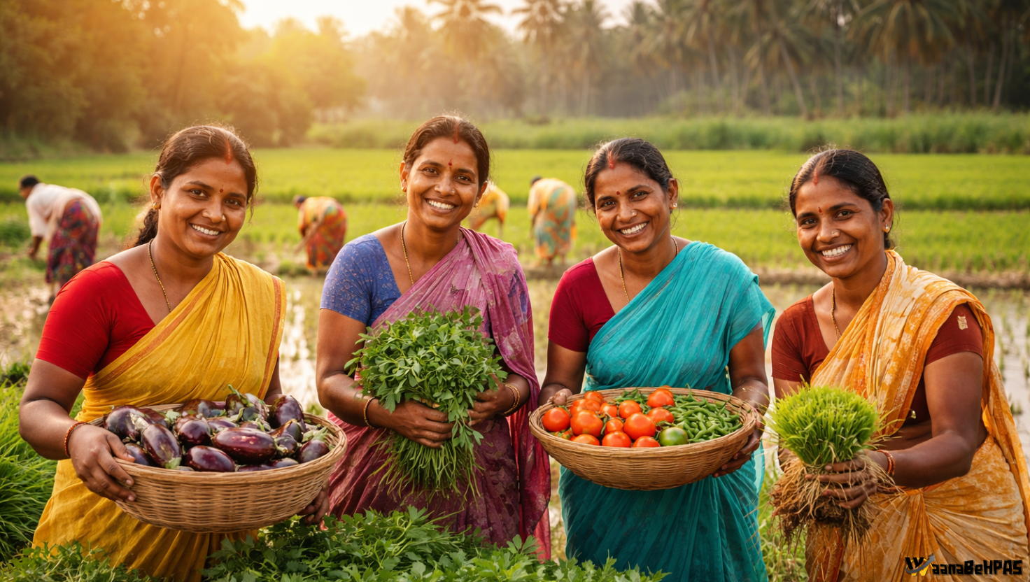
- Supports plantation crops: tea, coffee, pepper, cardamom, rubber, oil palm.
- Important for tourism and pilgrimage (Ooty, Kodagu, Sabarimala).
Cultural & Tribal:
- Home to many tribal communities including PVTGs in Karnataka and Kerala.
Threats
- Mining, sand extraction, deforestation.
- Plantations replacing natural forests.
- Hydropower projects, land conversion, unplanned tourism.
- Human-wildlife conflict, poaching, grazing pressure.
- Climate change and erratic monsoons.
Conservation Efforts
- Gadgil Committee (2011): Proposed full Western Ghats as ESA with graded restrictions.
- Kasturirangan Committee (2013): Recommended 37% of Ghats as ESA; complete ban on mining in ESA zones.
- Expansion of biosphere reserves, wildlife corridors, and ecological restoration programs.
- Question Reference
(HPAS PYQ 2025) ↩︎