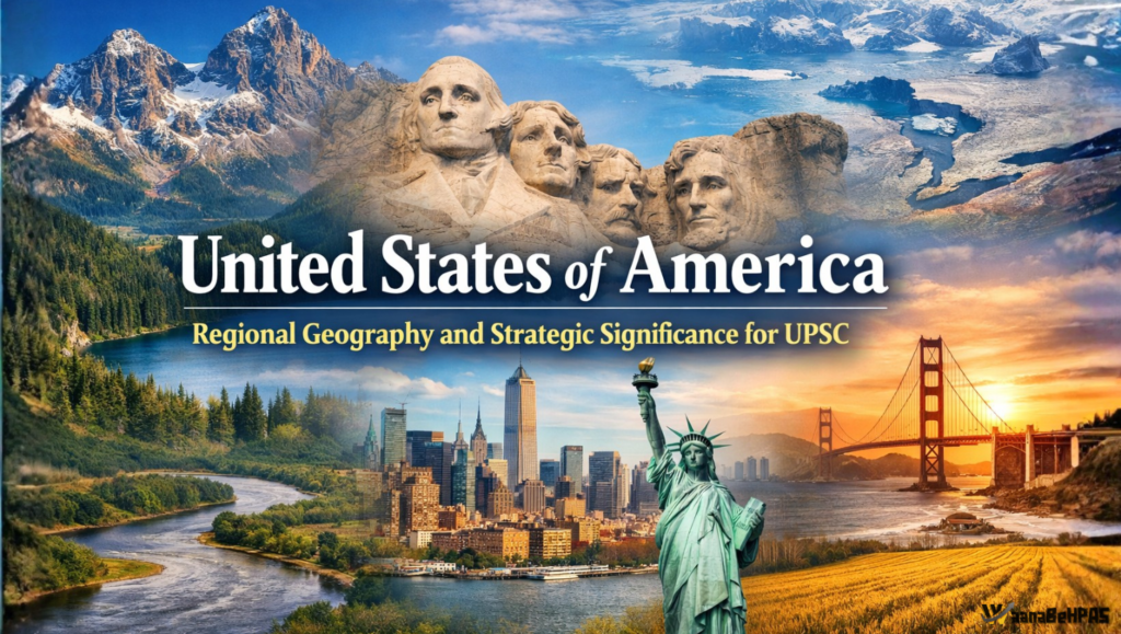
United States of America (USA): Regional Geography, Resources and Spatial Logic – UPSC Oriented Analysis
Syllabus: UPSC GS-I: Physical Geography, GS-II: India–USA relations, GS Paper-III: Economy & Environment
1. Continental Position & Strategic Location
The United States of America occupies a pivotal position in North America, extending between the Atlantic and Pacific Oceans and exercising influence over both hemispheric and global systems. Its geographical setting explains its rise as a global power.
- North-West: The Bering Strait separates North America from Asia and historically served as a land bridge during the Ice Age.
- South: Proximity to the Isthmus of Panama links North and South America, giving the USA strategic leverage over inter-oceanic trade routes.
- Boundaries: Canada (north), Mexico (south), Atlantic Ocean (east), Pacific Ocean (west), Gulf of Mexico (south-east).
UPSC Insight: The USA’s tri-oceanic access (via Alaska) and continental scale make it a classic case of geography-driven power projection.
2. Physiographic Architecture of the USA
The American landscape is best understood through its major physiographic divisions, shaped by plate tectonics and Pleistocene glaciation.
(a) Canadian Shield (Northern Extension)
- Ancient Precambrian crystalline rocks extending into northern USA
- Rich in minerals (iron, nickel, copper)
- Thin soils → sparse agriculture
(b) Appalachian Highlands
- Old, eroded fold mountains along the eastern margin
- Historically restricted westward expansion
- Rich in coal → early industrialisation
(c) Atlantic & Gulf Coastal Plains
- Low-lying, fertile, densely populated
- Early colonial settlements and ports developed here
- Important for agriculture and urbanisation
(d) Central Lowlands & Great Plains
- Flat to gently rolling terrain
- Agricultural heartland (“Granary of the USA”)
- Corn Belt, Wheat Belt, Dairy Belt
(e) Western Cordillera
- Young fold mountains formed by active tectonics
- Includes Rockies, Sierra Nevada, Cascades
- Region of earthquakes, volcanism, hydropower
3. Major Mountain Systems & Relief Control
Rocky Mountains – The Continental Backbone
- Extend north–south from Montana to New Mexico
- Act as the Continental Divide:
- West-flowing rivers → Pacific
- East-flowing rivers → Atlantic / Gulf of Mexico
Other Important Ranges
- Sierra Nevada – water tower of California
- Cascade Range – volcanic mountains
- Alaska Range – includes Denali
- Brooks Range
Cultural–Geographic Landmark:
- Mount Rushmore – located in the Black Hills, symbolising national history embedded in physical geography.
4. Hydrographic Network & Drainage Systems
Mississippi River System
- Mississippi River – spine of the interior economy
- Supports agriculture, navigation, and industry
West → East Order of Major Tributaries (Exam Favorite)
| River | Position | Importance |
|---|---|---|
| Arkansas | Westernmost | Central plains drainage |
| Missouri | Central-west | Longest river system |
| Illinois | Central-east | Links Great Lakes to Mississippi |
| Ohio | Easternmost | Industrial artery |
Other Drainage Basins
- Colorado River – lifeline of arid southwest
- Columbia River – hydropower hub
- Rio Grande – international boundary

5. The Great Lakes System – Inland Maritime Corridor
The Great Lakes form the world’s largest freshwater system and provide the USA with a “third coastline”.
West → East Sequence (Must Memorise)
- Lake Superior
- Lake Michigan (only lake entirely within the USA)
- Lake Huron
- Lake Erie
- Lake Ontario → connects to Atlantic via St. Lawrence River
Strategic Value:
- Cheap bulk transport
- Industrial concentration
- Global maritime access to the interior
6. Industrial Geography – The Rust Belt
The Rust Belt illustrates how geography shapes economic cycles.
Why It Developed
- Iron ore from Minnesota
- Coal from Appalachians
- Great Lakes transport
- Proximity to eastern markets
Why It Declined
- Deindustrialisation
- Shift to service and tech economy
- Globalisation and outsourcing
UPSC Angle: Demonstrates industrial location theory and regional economic transformation.
7. Climate & Natural Vegetation
Climatic Types
- Mediterranean – California
- Marine west coast – Pacific Northwest
- Continental – Interior plains
- Humid subtropical – South-East
- Desert – South-West
- Polar & subarctic – Alaska
Vegetation
- Coniferous forests – NW
- Grasslands – Great Plains
- Deciduous forests – East
- Deserts – SW
- Tundra – Alaska
8. Resources & Economic Geography
- Agriculture: Corn, wheat, cotton, dairy
- Energy: Oil (Texas), shale gas, coal, renewables
- Industry: Automobiles, aerospace, defence
- Services: Finance, IT, innovation hubs
9. Population & Urban Geography
- Population ~335 million
- Highly urbanised
- Megalopolises:
- BosWash
- ChiPitts
- SanSan
10. Global & Strategic Importance
- Federal presidential republic
- Member of NATO, G7, UN, IMF
- Key actor in Indo-Pacific
- Strategic partner of India (Quad, defence, technology)
Conclusion
The United States is a textbook example of spatial determinism, where mountains guide rivers, rivers guide agriculture, and coasts guide trade and power. For UPSC aspirants, the USA integrates physical geography, economic geography, climate systems and geopolitics, making it one of the highest-yield regions in world geography.