PM GatiShakti National Master Plan – Integrated Infrastructure for India’s Logistics Transformation
Syllabus: Govt. Schemes (UPSC Prelims, GS II)
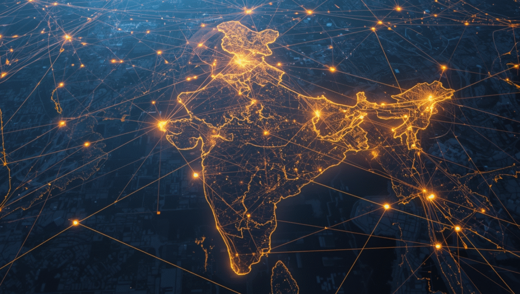
What is PM GatiShakti?
PM GatiShakti, launched in October 20211, is a Rs 100 lakh crore National Master Plan aimed at building an integrated and efficient multimodal infrastructure network over the next five years.
It brings together seven major infrastructure drivers:
- Railways
- Roads
- Ports
- Waterways
- Airports
- Mass Transport
- Logistics
Supported by energy, IT, water, and social infrastructure sectors.
Objective
- Reduce logistics costs through integrated infrastructure planning.
- Act as a digital backbone to connect macro-level planning with micro-level implementation.
- Align and synchronize existing schemes like Bharatmala, Sagarmala, UDAN, etc., to improve competitiveness and last-mile connectivity.
6 Pillars of PM GatiShakti
(Inserted under Key Features for conceptual clarity)
- Dynamic – Enables real-time monitoring and updates on project progress.
- Analytical – Offers GIS-based analytical tools for spatial and sectoral planning.
- Synchronization – Promotes coordinated planning across ministries and departments.
- Comprehensiveness – Brings all government initiatives onto a single digital platform.
- Prioritization – Helps identify and prioritize key infrastructure projects across sectors.
- Optimization – Identifies the most cost-effective and time-efficient routes for cargo movement.
Key Features
1. Geospatial Data Platform
- Integrates 200+ layers of geospatial data on a unified portal.
- Uses ISRO satellite imagery and BISAG-N technology for accurate mapping.
- Supports evidence-based decision-making for project planning.
2. Focus on Economic Hubs
- Enhances textile clusters, pharma hubs, defence corridors, and agri-zones.
- Aims to improve productivity and strengthen regional value chains.
3. Tech-enabled Planning
- Uses spatial analytics and digital dashboards for monitoring.
- Offers real-time visibility into land, utilities, and infrastructure gaps.
Targets under PM GatiShakti
- 200 new airports, heliports, and water aerodromes planned.
- Renewable energy capacity to reach 225 GW by FY25.
- 17,000 km natural gas pipeline network to be completed.
- 454,200 ckm of transmission lines to expand the national power grid.
- National Highways network to increase to 2 lakh km.
- Rail freight capacity to reach 1,600 million tons by FY25.
Key Achievements
- Integrated 44 Central Ministries and 36 States/UTs on one digital platform.
- Over 1,600+ data layers supporting coordinated infrastructure planning.
- 200+ major projects assessed by the Network Planning Group (NPG).
- Improved India’s Logistics Performance Index (LPI) rank to 38th in 2023 from 44th in 2018.
- Facilitated planning of social infrastructure like schools, anganwadis, and hospitals in underserved areas.
Challenges & Solutions (Mnemonic-Based)
Challenges – BLOCK
B – Bureaucratic Silos: Resistance in data sharing and coordination across ministries.
L – Land & Legal Hurdles: Slow land acquisition and statutory clearances.
O – Operational Data Gaps: Different data standards across ministries and states.
C – Capacity Shortage: Limited GIS capability in state/local bodies.
K – Kinetic Delay: Slow translation of data insights into action on stalled projects.
Way Forward – SCALE
S – Standardize Data: Uniform templates and mandatory data audits.
C – Collaborative Incentives: Reward ministries for joint project implementation.
A – Advance Technical Training: GIS training for officials; technical support teams in states.
L – Link Approval Systems: Integrate with portals like PARIVESH for faster clearances.
E – Enforce Monitoring: Strengthen the NPG with monitoring and escalation powers.
- Question Reference
(HPAS PYQ 2025) ↩︎