Mount Cilo Glacier Retreat: Climate Change Impact in Turkey
Source: TOI
Syllabus: Climate Change, Environmental Degradation, Geography (UPSC GS I & III)
Context:
Recent studies reveal that Mount Cilo’s glaciers in southeastern Turkey have lost nearly 50% of their ice cover over the past four decades. Accelerated melting due to climate change and heatwaves is significantly altering the region’s hydrology.
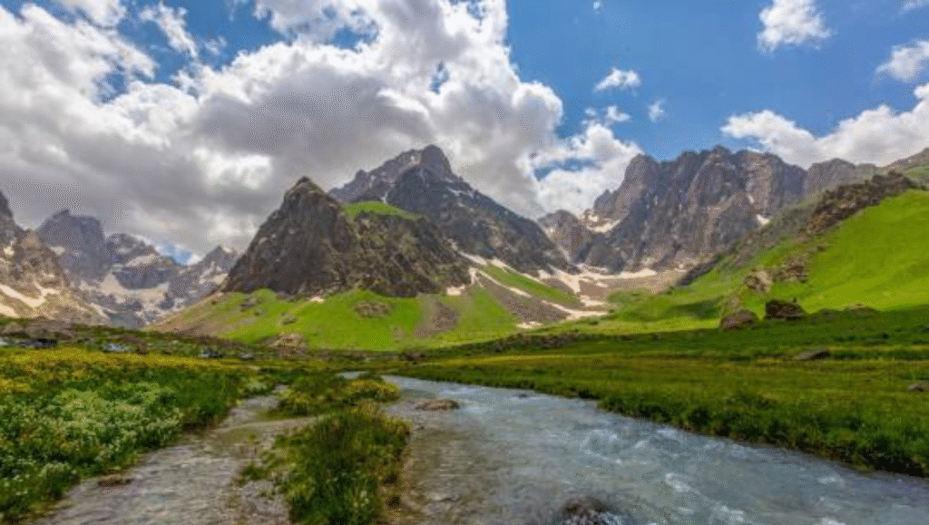
About Mount Cilo:
- Location:
- Second-highest peak in Turkey (4,135 meters at summit Reşko or Uludoruk).
- Located in Yüksekova district, Hakkâri Province, bordering Iraq.
- Part of the East Taurus Mountains in the Eastern Anatolia region.
- Geographical Features:
- Spans 30 km within Cilo-Sat Mountains National Park (declared in 2020).
- Characterized by steep limestone cliffs, sharp ridges, deep gorges, and glacial valleys.
- Nearby Suppa Durek (Erinç Tepe) is Turkey’s third-highest peak (4,116 meters).
Glacial Retreat and Environmental Impact:
- Over 50% glacier loss recorded since the 1980s.
- Melting ice feeds rapid torrents and waterfalls, disrupting regional water cycles.
- Visible indicators include receding ice sheets and ice blocks entering streams.
Climate Trends and Projections:
- Record heatwave: 50.5°C in Silopi (July 2025), Turkey’s highest-ever temperature.
- UN projections: Region may experience 30% less rainfall and a 5–6°C rise in temperature by 2100.
- These trends signal increased risk of water scarcity and ecological imbalance in the region.