Strategic Geopolitics: Resource Distribution in Ancient India
1. Environmental Determinism: Geography and Climate
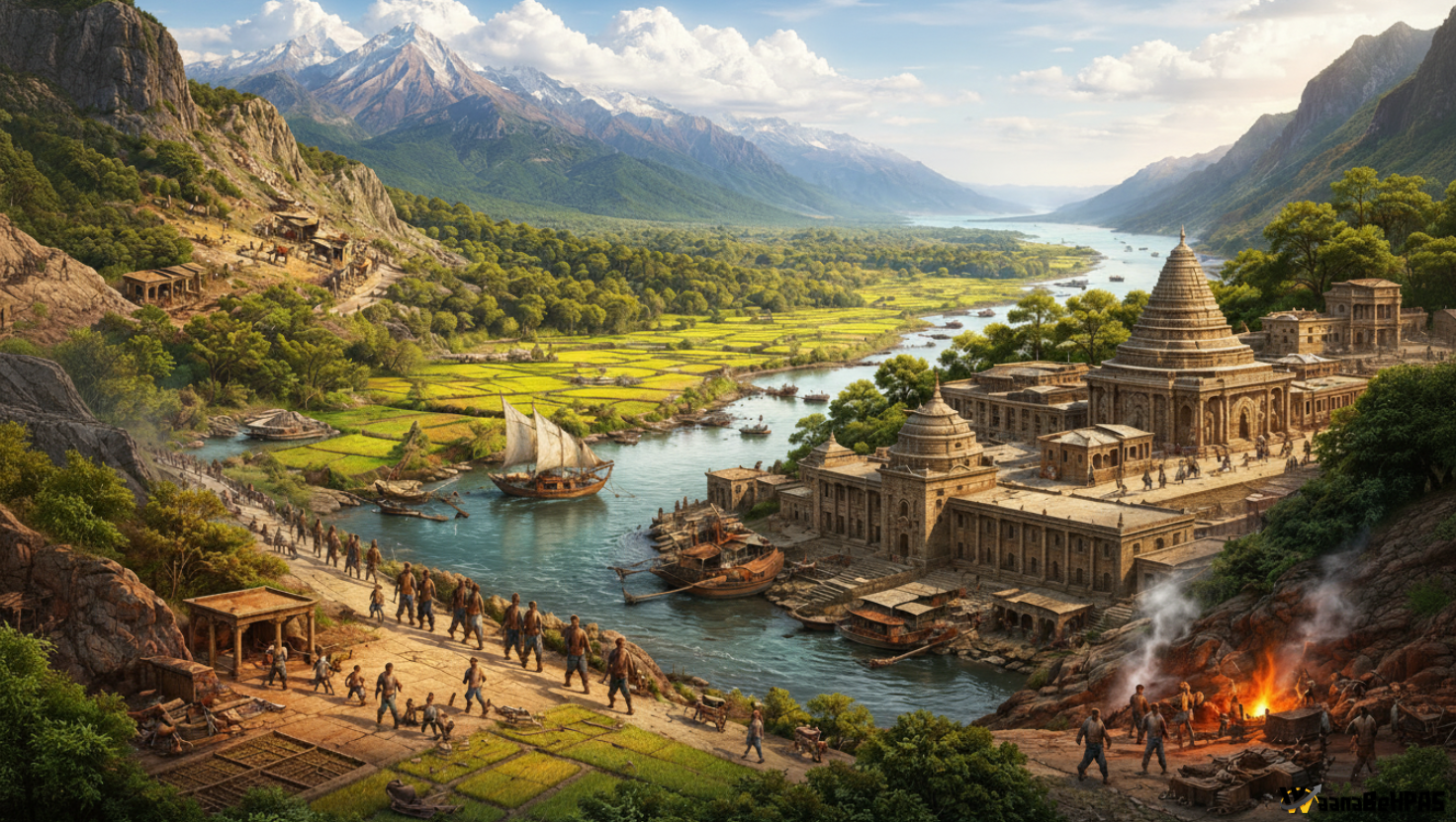
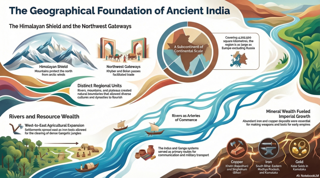
The Indian subcontinent is a large and well-defined geographical unit with an area of about 4.2 million sq km. Its size can be compared with Europe excluding Russia. The subcontinent’s strategic character was shaped mainly by its natural boundaries.
Natural Boundaries
- Himalayas in the north acted as a protective barrier.
- Seas on the east, west, and south created natural isolation.
- The Himalayas also protected India from the cold winds of Central Asia and helped preserve cultural traditions (e.g., Sanskrit manuscripts in Kashmir and Nepal).
However, these barriers were not completely closed.
Northwestern Gateways
The north-western frontier allowed contact with the outside world.
Important mountain passes:
- Khyber Pass
- Gomal Pass
- Bolan Pass
Through these passes there was continuous movement of:
- traders
- migrants
- invaders
Thus, India had constant interaction with Central Asia.
Early Trade Routes
In early times, settlements and trade followed the Terai route along the Himalayan foothills because the plains were covered with thick forests.
Role of Rivers
Major rivers acted as economic lifelines.
Important rivers:
- Indus
- Ganga
- Brahmaputra
Functions of rivers:
- transportation of goods
- communication
- support for agriculture
Example: Ashokan pillars, weighing several tons, were transported hundreds of miles through river routes.
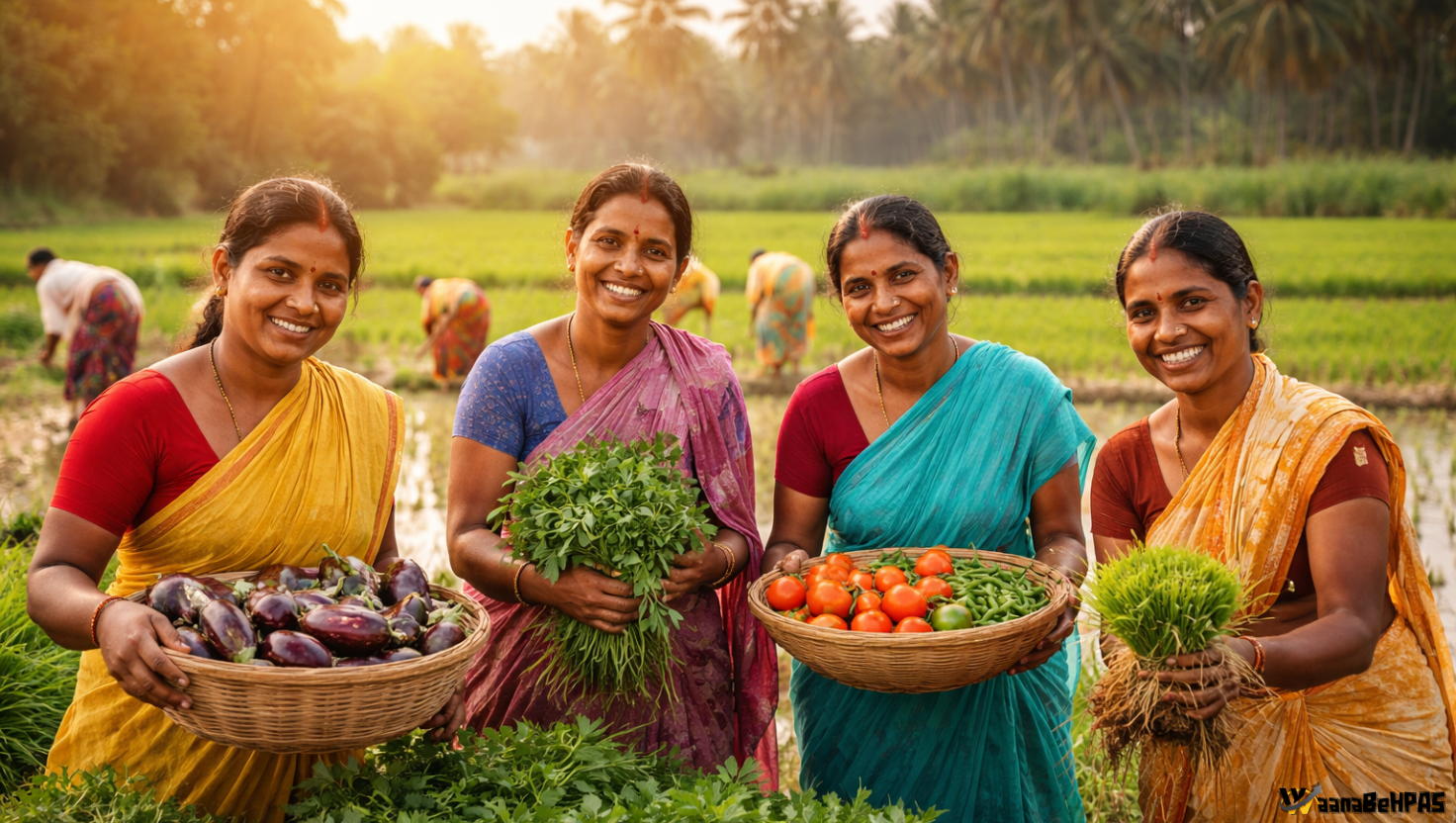
2. Rainfall, Agriculture and Technology
Agricultural expansion in ancient India depended largely on rainfall patterns and available technology.
| Annual Rainfall | Region | Vegetation | Major Crops | Technology Needed |
|---|---|---|---|---|
| 25–37 cm | Indus Valley | Semi-arid | Wheat, Barley | Stone & Copper tools |
| 37–60 cm | Western Ganga plains | Moderate vegetation | Wheat, Barley | Stone & Copper tools |
| 60–125 cm | Middle Ganga basin | Dense forests | Rice | Iron tools |
| 125–250+ cm | Lower Ganga & Brahmaputra | Thick jungles | Rice | Advanced Iron tools |
Key Insight
- Western regions could be cultivated with simple tools.
- Eastern India had dense forests and heavy soils, which required iron tools for clearing land.
This is why political power gradually shifted from the Indus region to the Gangetic plains.
3. Metallurgy and Expansion: Copper and the Tin Problem
Copper: Early Technological Advancement
The use of copper marked an important stage in ancient Indian technology (Chalcolithic Age).
Uses:
- agricultural tools
- weapons
- ritual utensils
Copper was also considered ritually pure in Hindu traditions, and copper vessels are still used in religious practices.
Major Copper Sources
Important copper deposits were found in:
- Singhbhum (Chotanagpur Plateau) – large copper belt
- Khetri mines (Rajasthan)
Archaeological evidence shows extensive ancient mining activities in these areas.
The Tin Shortage
Despite abundant copper, India did not develop a full Bronze Age like West Asia or Egypt.
Reason: Scarcity of tin, which is needed to make bronze.
Limited tin deposits existed in:
- Gaya
- Hazaribagh
- Ranchi
But they were not sufficient for large-scale bronze production.
Therefore:
- Harappans imported tin from Afghanistan.
- Later, South India obtained tin through maritime trade with Burma and Malaya.
Because copper tools were soft, they were not suitable for clearing dense forests. This made the adoption of iron technology essential.
4. The Iron Revolution and the Rise of Magadha
Between the 6th and 4th centuries BCE, the center of political power shifted from Punjab and the Indus region to the Gangetic plains.
This shift was mainly due to the Iron Revolution.
Importance of Iron
Iron had two major impacts:
1. Agricultural Expansion
Iron tools such as:
- axes
- ploughs
helped clear dense forests of the Gangetic basin and allowed cultivation of fertile soil.
This led to large agricultural surplus, especially rice production.
2. Military Power
Iron was also superior for making:
- weapons
- armor
Thus, kingdoms with access to iron gained military advantage.
Rise of Magadha
The kingdom of Magadha became the first major empire largely due to its access to iron resources.
Important iron deposits:
- South Bihar
- Singhbhum region
Strategic Advantages of Magadha
- Access to Iron Resources
- Close to rich iron deposits.
- Technological Superiority
- Early use of iron tools and weapons.
- Agricultural Surplus
- Rice cultivation supported a large population.
- River Transport
- Control over the Ganga river system helped trade and communication.
Because of these advantages, Magadha eventually established powerful empires such as:
- Mauryan Empire
Other regions also benefited from iron:
- Avanti (Ujjain) – access to iron in eastern Madhya Pradesh
- Satavahanas – iron resources in Andhra and Karnataka
5. Precious Metals and the Monetary Economy
As trade expanded, ancient India gradually moved from barter to a monetary economy.
Control over gold and silver became important for political power.
Gold
Major gold source:
- Kolar Gold Fields (Karnataka)
Mining activity here dates back to around 1800 BCE.
Gold helped early southern kingdoms like the Gangas of Karnataka.
However, local gold supply was limited.
Therefore, large amounts of gold coins in early centuries CE came from foreign trade, especially with:
- Roman Empire
- Central Asia
Lead
Lead deposits were found in:
- Andhra Pradesh
- Maharashtra
The Satavahanas used lead extensively to mint coins during the 1st–2nd century CE.
Silver
Silver was relatively rare in India.
Some deposits existed in:
- Kharagpur hills (Monghyr, Bihar)
This explains the presence of silver in early punch-marked coins.
Trade Commodities
India exported several luxury goods:
- precious stones
- pearls
- gems
These came from:
- Central India
- Orissa
- South India
Trade with the Roman world brought large quantities of gold into India.
6. Relationship Between Resources and Political Power
In ancient India:
- Rivers supported cities and trade
- Mineral resources supported political power
Most major cities were located on river banks.
Examples:
- Pataliputra
- Varanasi
- Hastinapur
But powerful states were those that controlled mineral-rich regions.
Resource–Power Correlation
| Resource | Associated Kingdom/Region |
|---|---|
| Iron | Magadha (Bihar), Avanti (Ujjain), Satavahanas (Deccan) |
| Copper | Khetri (Rajasthan), Singhbhum (Bihar) |
| Gold | Kolar (Karnataka), Gangas |
| Lead | Satavahanas (Andhra & Maharashtra) |
| Silver | Kharagpur Hills (Bihar) |
| Tin | Imported by Harappans from Afghanistan |
Conclusion
The distribution of natural resources played a crucial role in shaping ancient Indian political history.
Key insights:
- Rivers enabled trade and communication.
- Mineral resources enabled military and agricultural expansion.
- Regions with access to iron, copper, and precious metals gained political dominance.
Thus, while rivers created urban centers, it was control over mineral resources that determined the rise of powerful empires in ancient India.