Eastern Ghats – Old, Dissected, Low Hill System of Peninsular India
Syllabus: Indian Geography (UPSC Prelims)
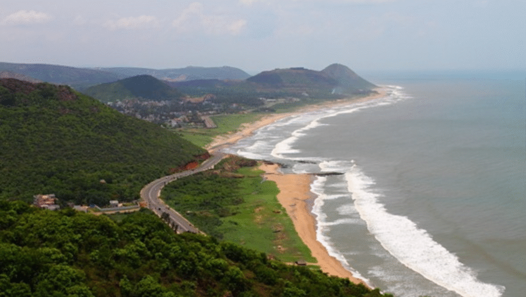
The Eastern Ghats, also known as Purva Ghat or Mahendra Parvatam in the south, are older and more eroded than the Western Ghats. They form a discontinuous chain of low, fragmented hills running parallel to the Bay of Bengal from Odisha to Tamil Nadu.
Geographical Extent
- Stretch from northern Odisha through Andhra Pradesh, Telangana, Karnataka, and into Tamil Nadu.
- Bounded by the Mahanadi basin in the north and the Cauvery basin in the south.
- Average elevation around 600 m with highly uneven relief.
Major Hills and Peaks
- Highest peak: Jindhagada near Araku, Andhra Pradesh.
- Gali Konda1 is the second highest peak in the Eastern Ghats.
- Important ranges: Nallamala, Velikonda, Palkonda, Erramala, Javadi, and Shevaroy Hills.
- The Godavari and Krishna cut deep gorges across the system.
Rivers and Lakes
- Crossed by major rivers: Mahanadi, Godavari, Krishna, Pennar, Cauvery.
- Important lakes: Chilika, Pulicat, Kolleru.
Climate and Soils
- Tropical monsoon climate influenced by both SW and NE monsoons.
- Less rainfall than Western Ghats.
- Soils: Red, black, laterite, alluvial.
- Rainfall exceeds 1500 mm in northern sections and declines southwards.
Vegetation and Biodiversity
- Contains moist deciduous, dry deciduous, dry evergreen and scrub forests.
- Home to around 2,500 flowering plant species.
- Supports species such as tiger, gaur, sloth bear, chousingha, and several endemic plants.
Protected Areas
- Important reserves include Simlipal, Satkosia, Coringa, Sri Lankamalleswara, Sathyamangalam, Pench–Nallamala landscape.
Environmental Concerns
- Large-scale mining of bauxite and iron ore.
- Deforestation, shifting cultivation, illegal logging (sandalwood, rosewood).
- Spread of invasive species like Lantana camara.
- Increasing forest fires and climate stress.
- Question Reference
(HPAS PYQ 2025) ↩︎