India Successfully Launches NASA–ISRO Synthetic Aperture Radar (NISAR) Satellite
Syllabus: Science and Technology (UPSC GS III)
Source: TOI
Context:
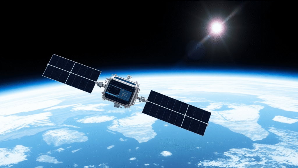
On July 31, 2025, India successfully launched the NISAR satellite aboard GSLV-F16 from Sriharikota. This is the first joint Earth observation mission by NASA and ISRO, marking a key milestone in Indo-US space collaboration.
What is NISAR?
- Full Form: NASA–ISRO Synthetic Aperture Radar
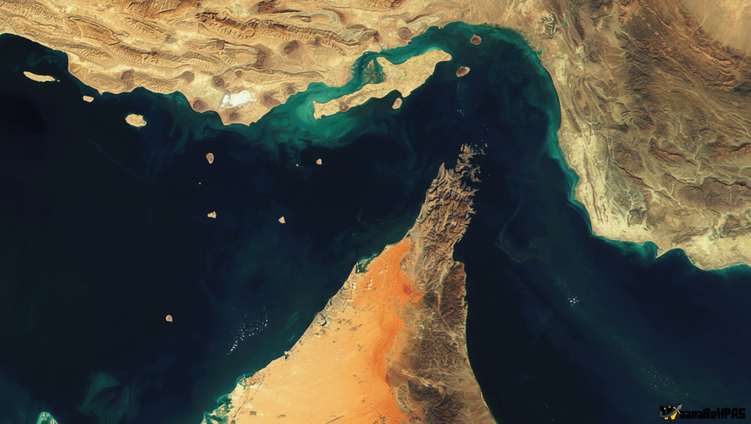
- Purpose: Earth observation satellite to monitor land and ice changes using dual-frequency Synthetic Aperture Radar (SAR).
- Mission Life: 5 years (2025–2030)
- Orbit: Sun-synchronous polar orbit at 747 km altitude
- Launch Site: Satish Dhawan Space Centre, Sriharikota
- Launch Vehicle: GSLV-F16 (First polar orbit launch by this vehicle)
Objectives of the NISAR Mission:
- Detect small-scale changes in land and ice surfaces with high accuracy.
- Monitor natural disasters like earthquakes, floods, landslides, and volcanic activity.
- Track changes in forests, glaciers, wetlands, and soil moisture.
- Provide data for agriculture, infrastructure planning, coastal management, and climate adaptation.
Key Features:
- Dual-Frequency SAR: Uses both L-band (NASA) and S-band (ISRO) radars — a first of its kind.
- High-Resolution Imaging: Covers a 242 km swath with repeat observations every 12 days.
- All-Weather Operation: Works 24/7, even through clouds and storms.
- 12-metre Reflector Antenna: Enables advanced imaging of Earth’s surface changes.
Contributions by India and the US:
| Component | NASA | ISRO |
|---|---|---|
| Radar | L-band SAR | S-band SAR |
| Hardware | Deployable boom, reflector, GPS, telecom system | Satellite bus (I-3K), solar panels, data systems |
| Launch | — | GSLV-F16 |
| Operations | NASA JPL | ISRO (SAC, URSC, VSSC, NRSC) |
Significance of the NISAR Mission:
- Scientific Advancement: Provides global data for Earth system changes and disaster forecasting.
- Space Diplomacy: Deepens Indo-US cooperation in space research.
- Climate Goals: Aids efforts to achieve Sustainable Development Goals (SDGs) and climate resilience.
- Global Accessibility: Open-data policy benefits global researchers and developing countries.
Conclusion:
The NISAR mission marks a historic step in Indo-US space ties. It combines cutting-edge technology with real-world benefits for disaster management, agriculture, and climate governance. This mission highlights India’s shift from being a space service provider to a global scientific contributor in Earth observation.